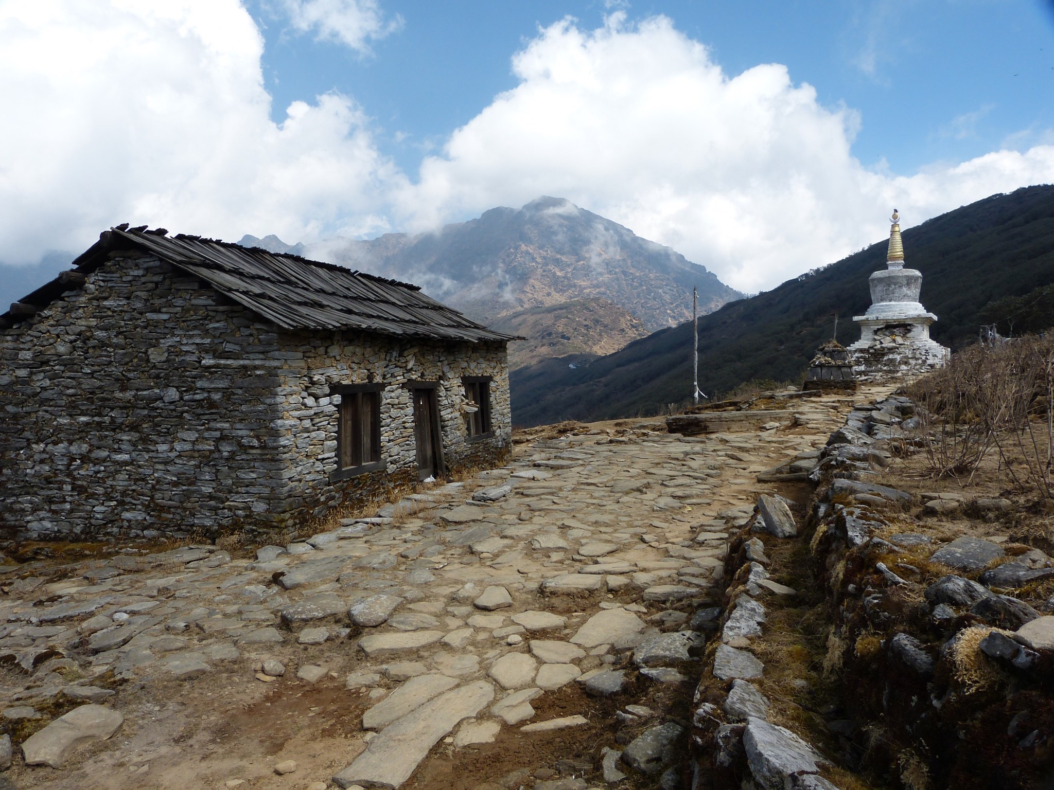
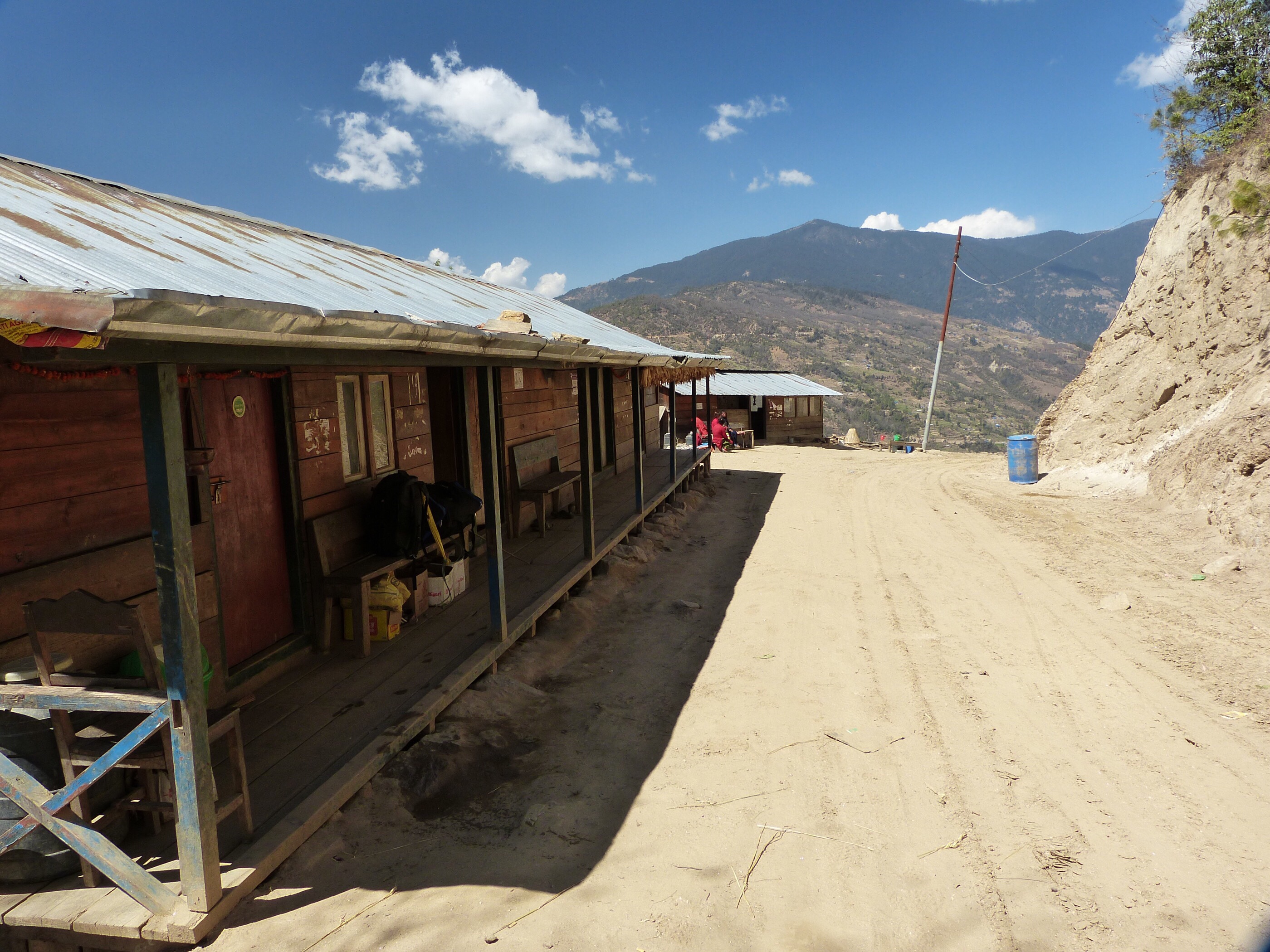
Last night, spent in the small village of Paiya in the Bee Hive Lodge, was one of the longest nights of my life. I went to bed pretty early, about 8 pm, after a dinner of Sherpa stew, a tasty rice and vegetable glop. My room felt bitter cold and very damp. It was made of stone with a door, two tiny windows, and two tiny beds with very thin mattresses. I couldn’t get warm, even though I have a -10 degree C sleeping bag and my thermometer said it was about +10 C. I tossed and turned until I had to pee, which meant going outside, sown some steps, and into the dark squat toilet. Finally I drifted off. In my fitfull sleep I dreamt that I woke up and it was pitch black and I had no idea where I was, and I had no idea where any lights were. It was if I had gone totally blind. Then I awoke for real and it was pitch black in that cave of a room, and I had a for-real panic attack, complete with hyperventilation and silent screams. Slowly I came to the realization of where I was and where I kept my headlamp under the pillow. Turning on the headlamp only slightly eased my panic. I spent they rest of the night tossing and turning trying to breathe normally. The thin mattress let the cold in from below and added to my sense of doom. I almost fell asleep when it was time to get ready for another day of hiking.
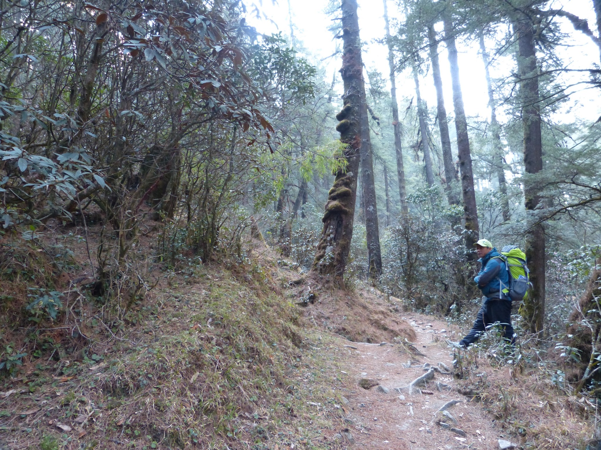
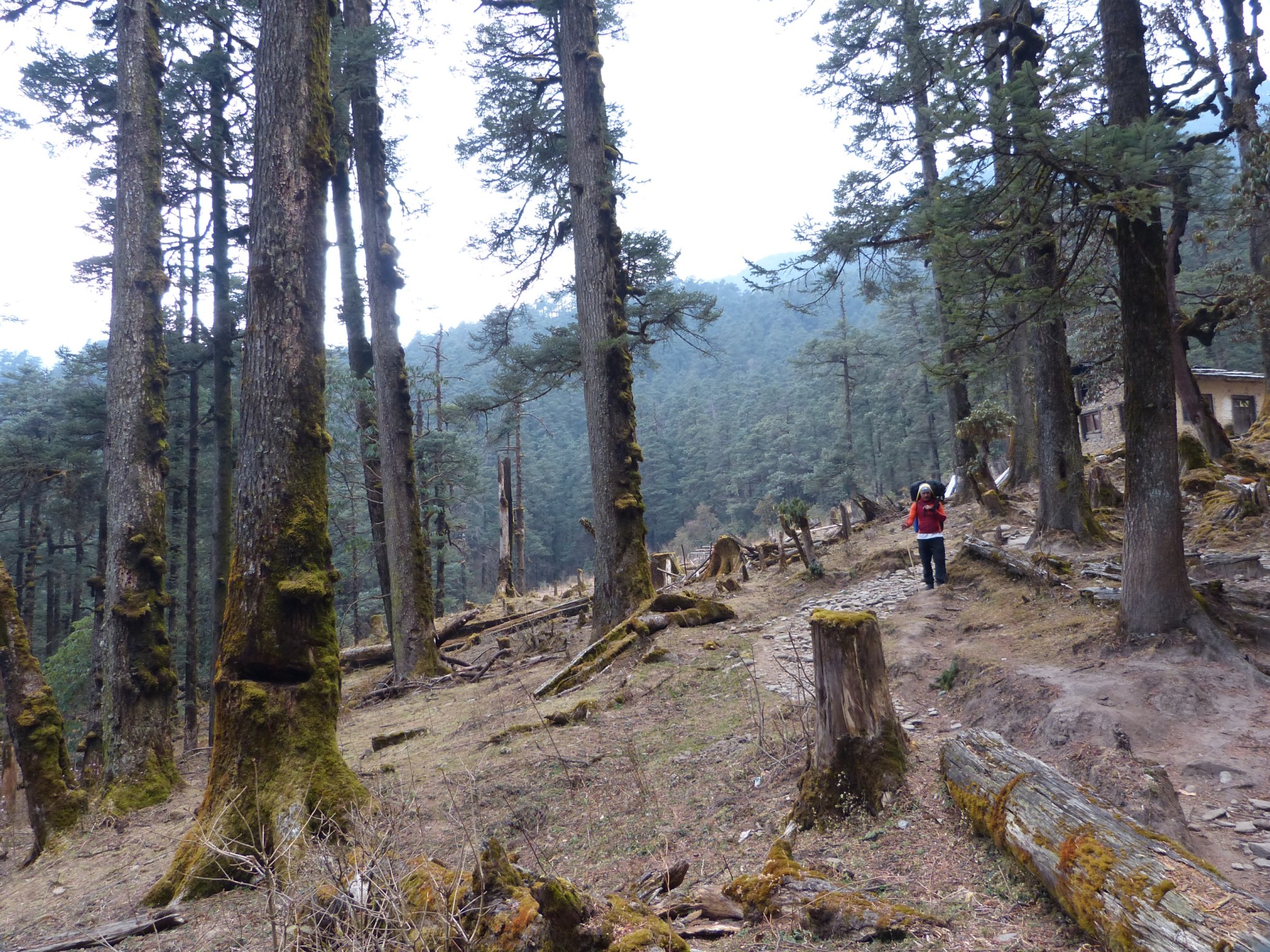
The day’s hike was pure misery in spite of some spectacular scenery. Not enough sleep together with my lingering cold that was threatening to turn into a cough made the going very slow. By mid morning the rain began. Our route contoured high on the north slope of the Dudh Kosi River, then plunged down 700 m to cross a tributary stream, then back up 400 m.
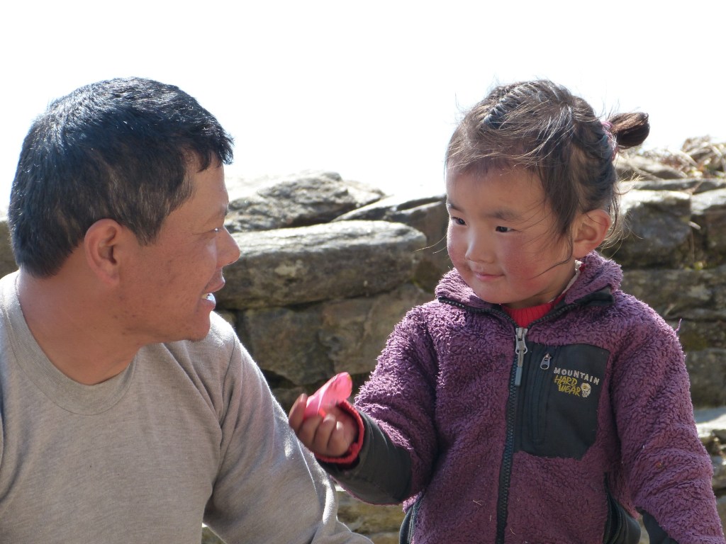
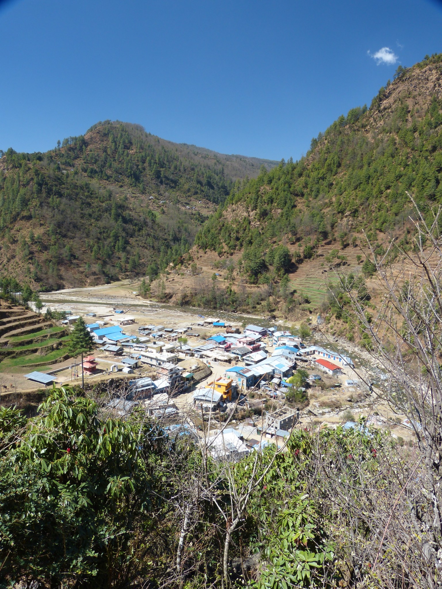
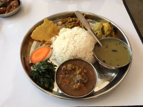
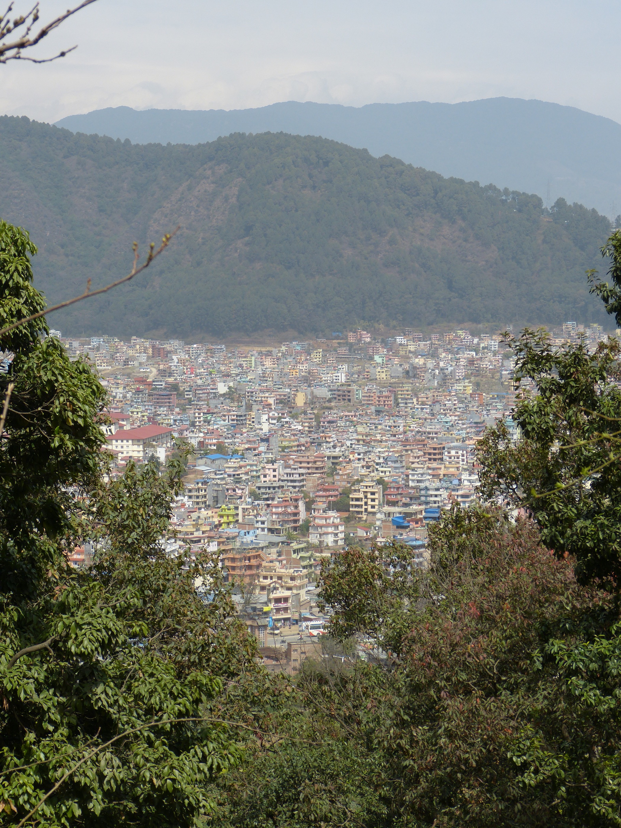
Soon we came to the intersection of the trail down from Lukla, where 95% of the trekkers fly into. Suddenly, my lonely trail, that had been populated by more donkeys than humans, became a virtual superhighway of trekkers fresh in from Kathmandu on the flight into Lukla. We ate an early lunch, then made the long trek northward to Pakding, a large trekker’s town of nothing but tea houses. My tea house is large, with a gas hot shower, and a very large heated dining room. I splurged on a coke for nearly $3.50 to go with my dinner of chicken nuggets and French fries. I’m in a much nicer room tonight so I am hopeful I will avoid a repeat of the panic attack.