Hiking in the Jungle

Almost to the date, 32 years ago, I set out on a 3+ week trek around Annapurna, in the Himalayas Mountains of Nepal.  Next week, I will return to Nepal to begin a 3+ week trek to Everest Base Camp, with a side trip to Gokyo Lakes.  To make this new trek even more fun, I will begin my walk from Jiri instead of flying into Lukla.  This will add an additional week to the trek as I hike the original approach to Namche Bazaar, the gateway to the Everest region.

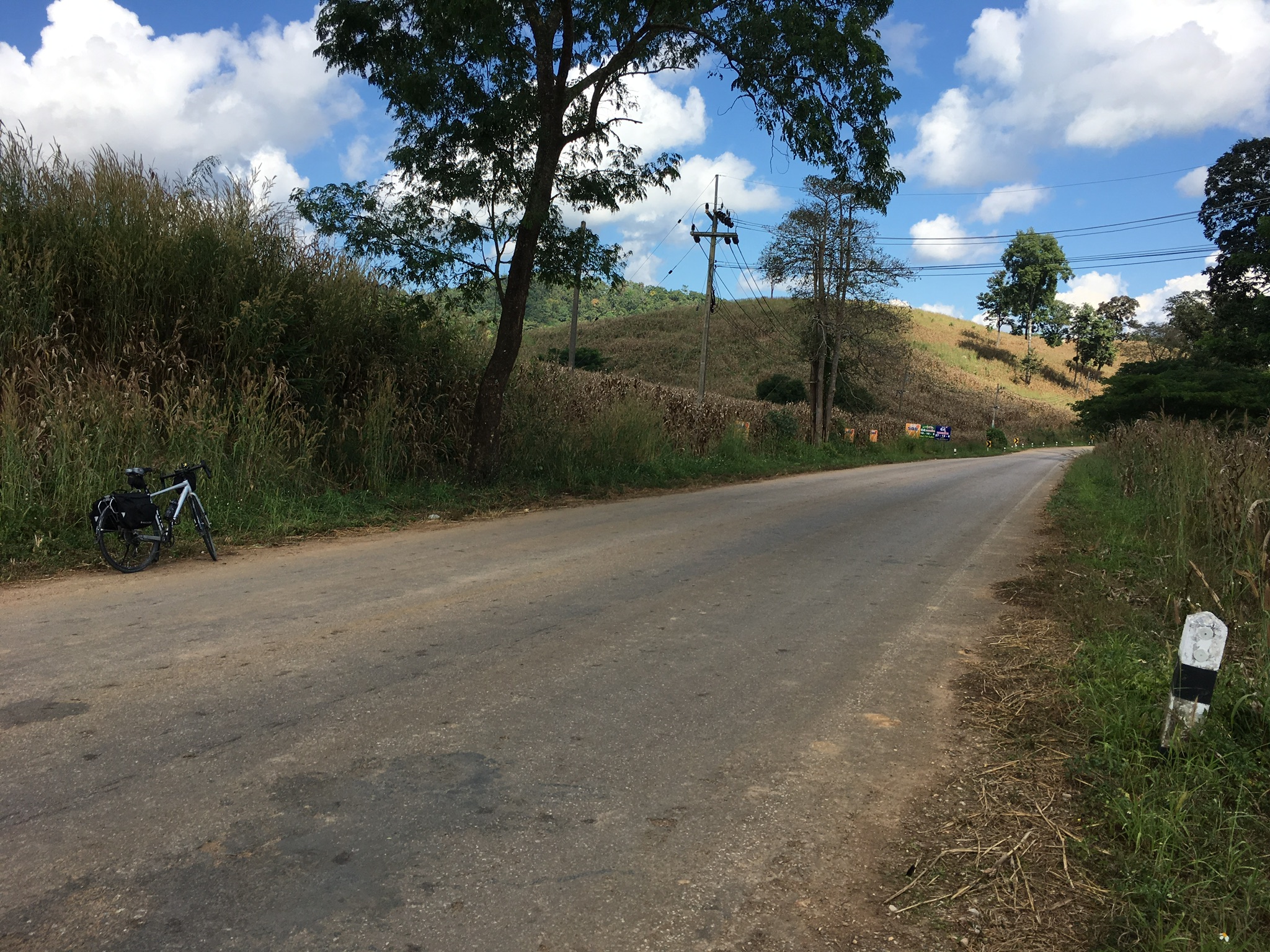
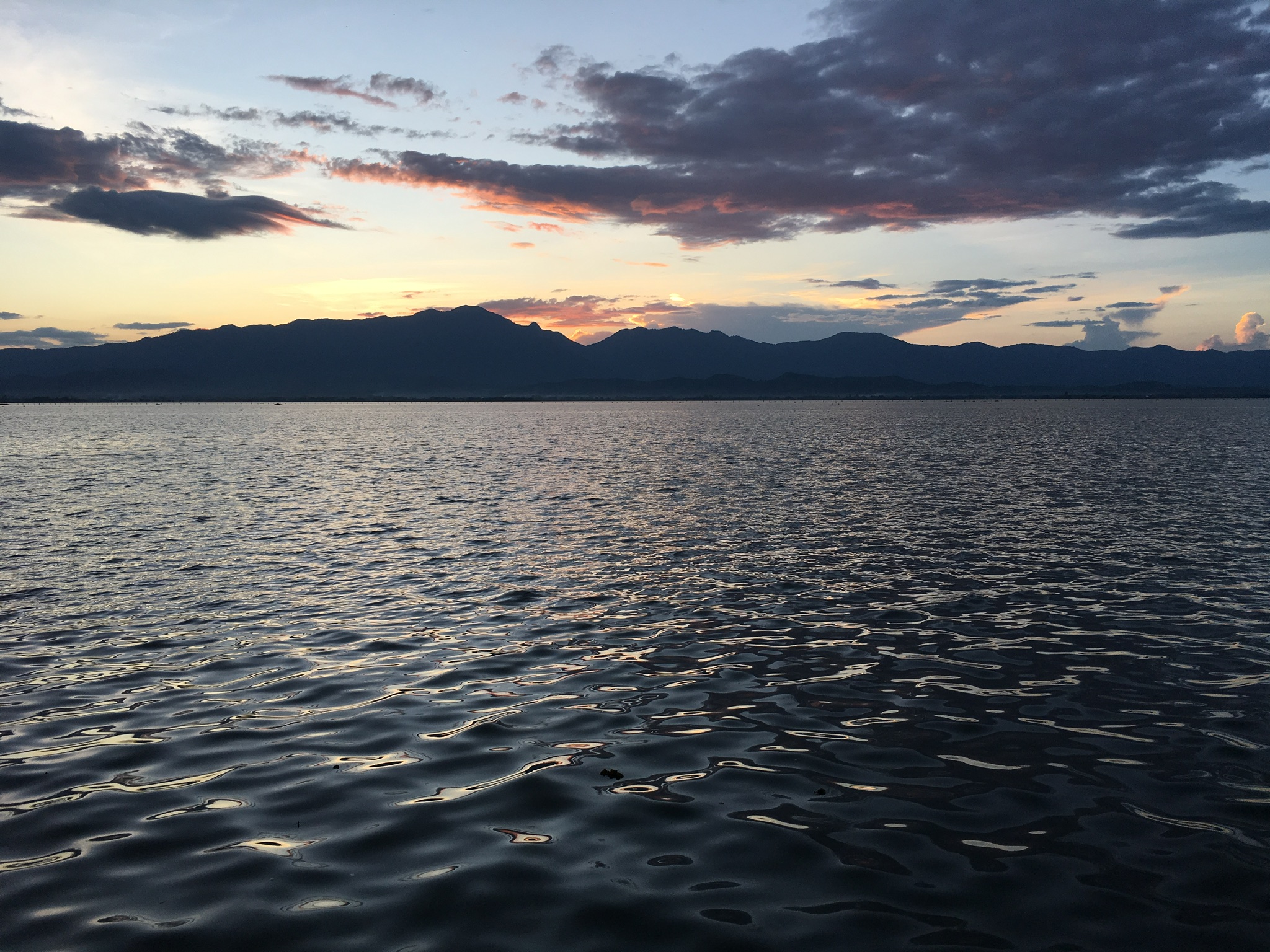
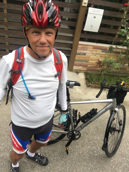
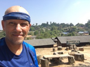
During that first trek so long ago, I trained by lying in the sun, drinking beer, and otherwise cavorting around Thailand for three weeks before arriving in Kathmandu.  My now 62 year old lungs and legs would have little chance in Nepal if I followed the same training regime this time around.  So, for the last few weeks, I have been hiking the jungle trails up and down Chiang Mai’s Doi Suthep – Doi Pui Mountain.

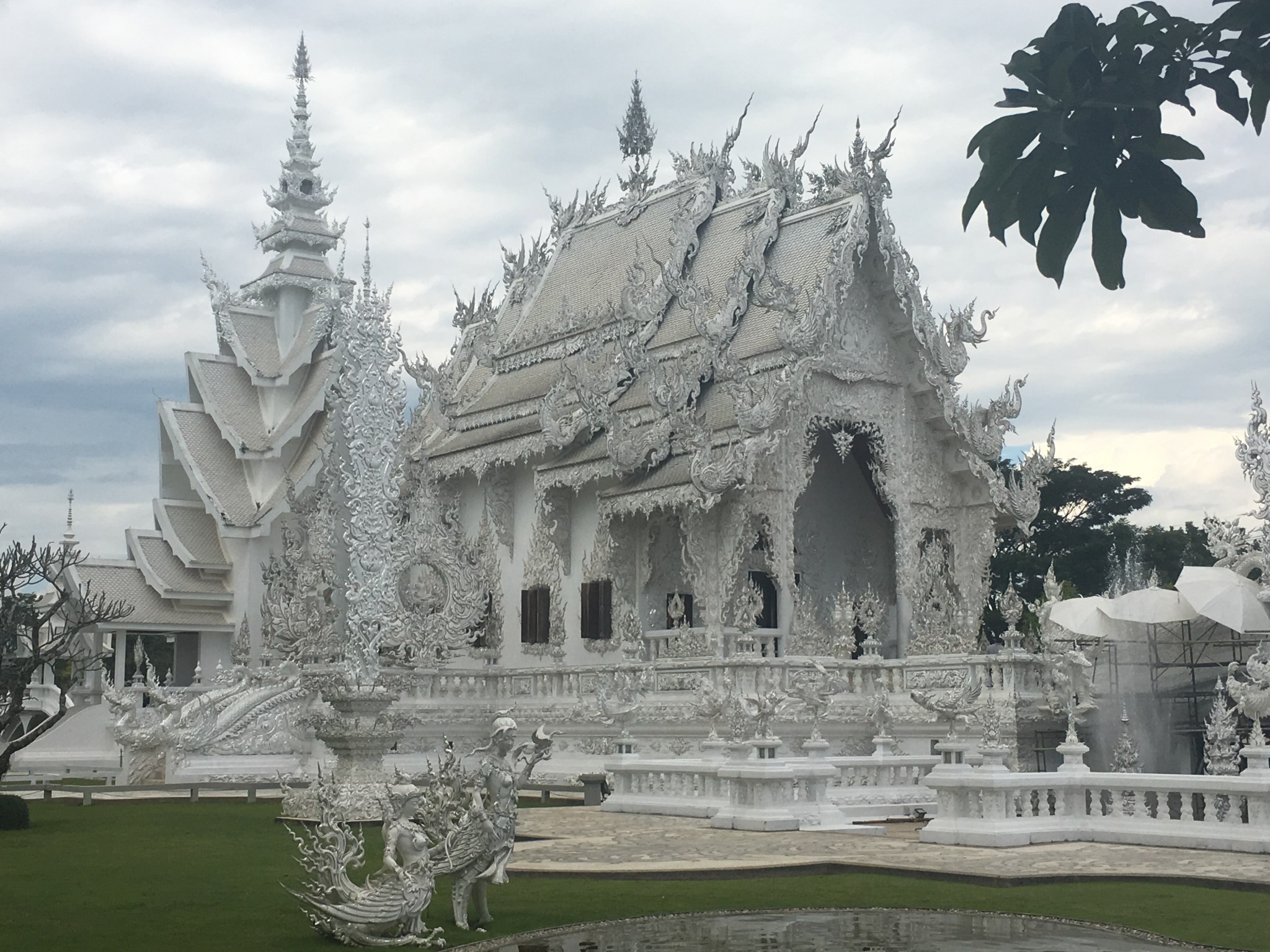
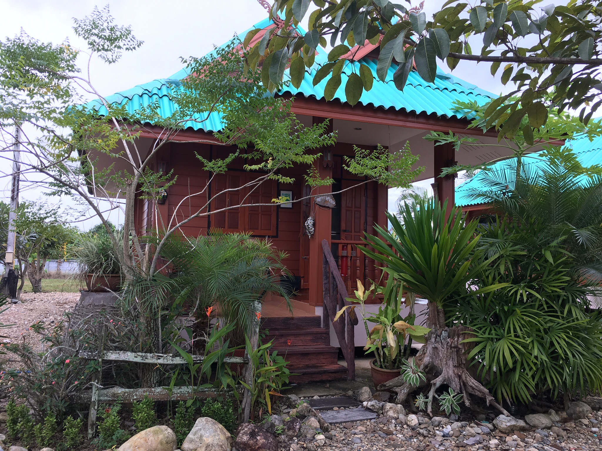
From Chiang Mai city, Doi Suthep Mountain appears as a large completely forested hulk, with the famous Doi Suthep Temple perched on a promontory about 2000 feet up.  The temple is serviced by a well-travelled, paved road plied by fleets of buses, fans, and songtaews that ferries 1000’s of tourists up to the temple every day.  Only a handful of people take the direct route, up the walking trail.  The first part of the trail, known as the monk’s trail, begins at the mountain’s base, and proceeds up to a lesser known temple, Wat Pha Lat, perched about 700 ft above the trailhead.

IMG_4285
A trail-side shrine at Wat Pha Lat

From there, the “trail” makes a direct beeline for Doi Suthep temple sans switchbacks.  This being the dry season in Thailand, the trail consists of a series of steps stomped into the hard clayey soil.  During the rainy season, I imagine that the trail would make a great muddy waterslide; temple to trailhead to hospital in 5 minutes!

I have now been up and down this trail many times – I know every root and rock along the way – I’m pretty sure I could navigate the trail blindfolded.

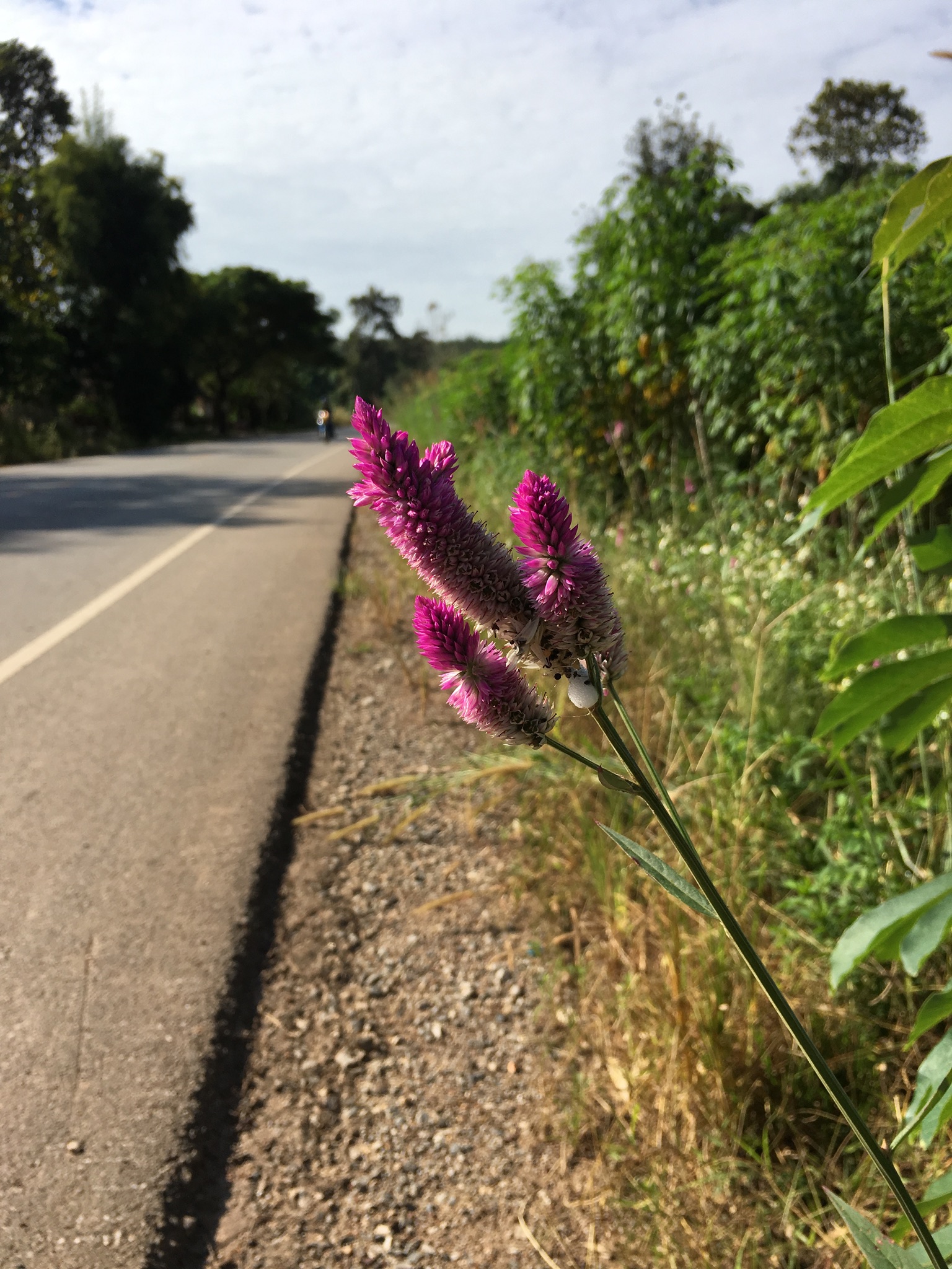
Yesterday, as an alternative, I chose a very lightly used trail that diagonals up the mountain toward the northwest to the small hill-tribe village of Ban Khun Chang Kian (บ้านขุนช่างเคี่ยน) a small settlement spilled across a high ridge about 3000 ft above the City.

IMG_4529
Your grizzled hero at Ban Khun Chang Kian

The trail is mostly used by mountain bikers who get hauled up the mountain in the back of pick-up trucks, and then come tearing down the trail, hikers beware.  I also saw a couple of crazy farang trail runners – not many hikers though,  mostly the trail is empty and quiet.

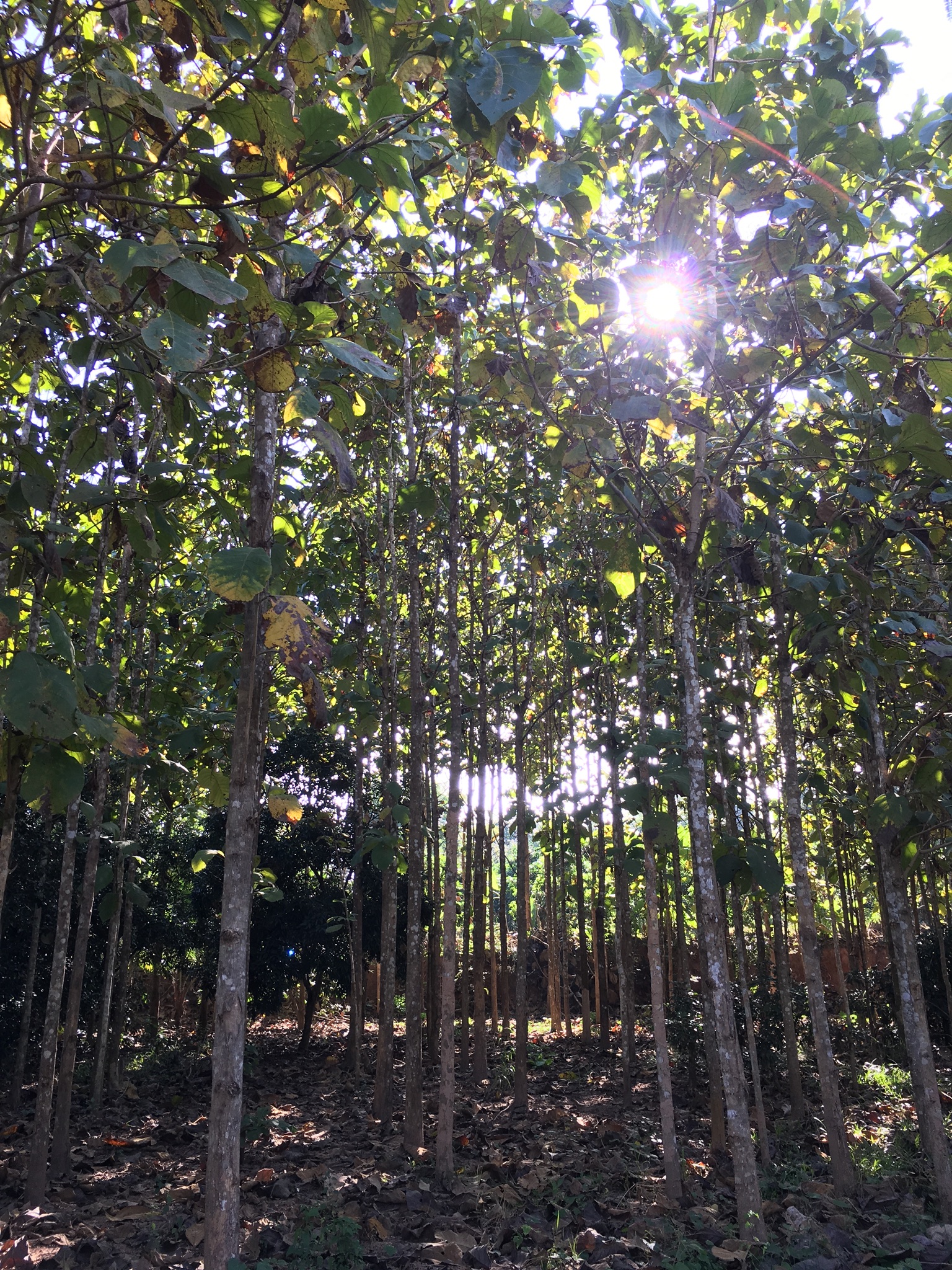
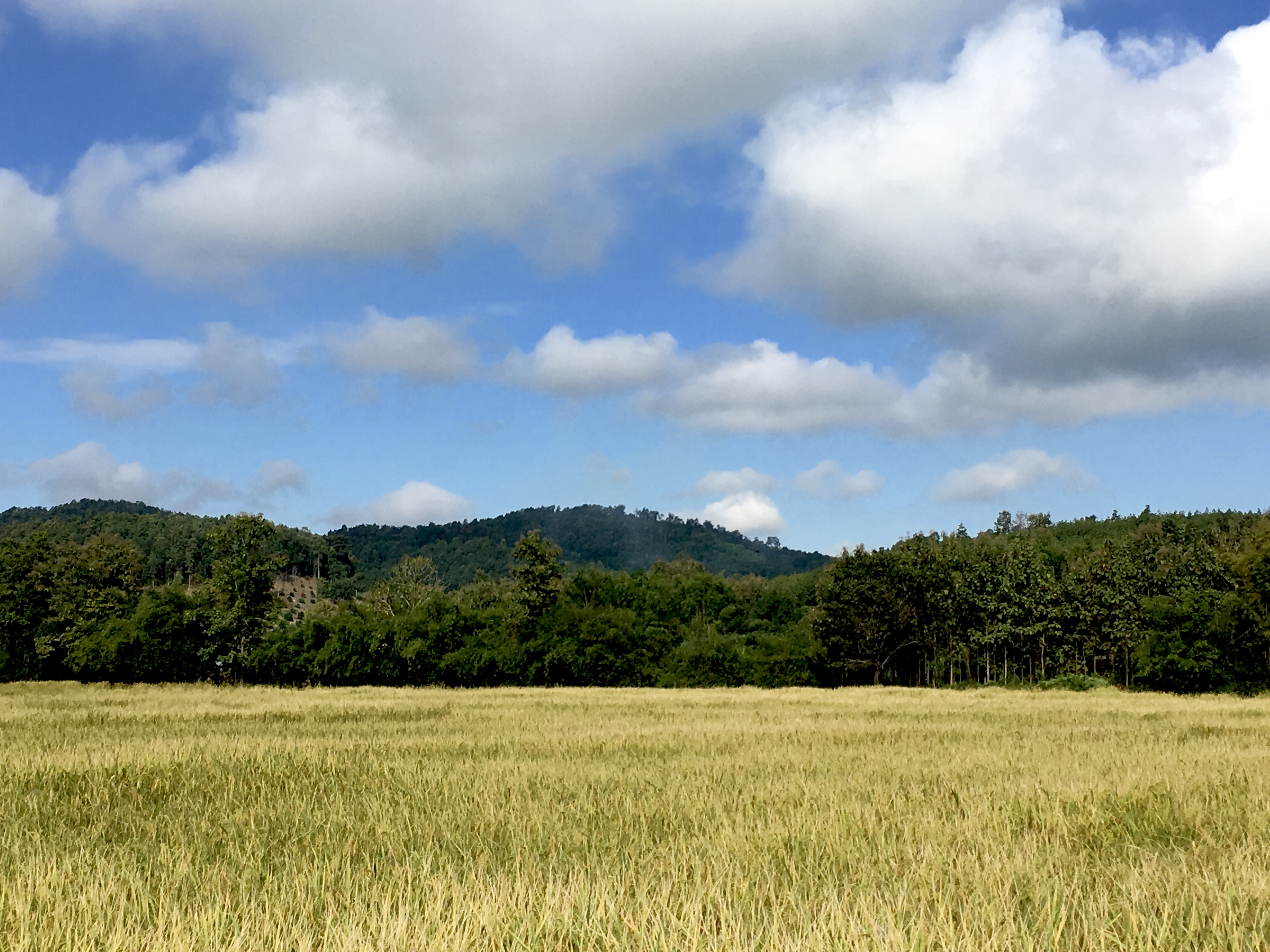
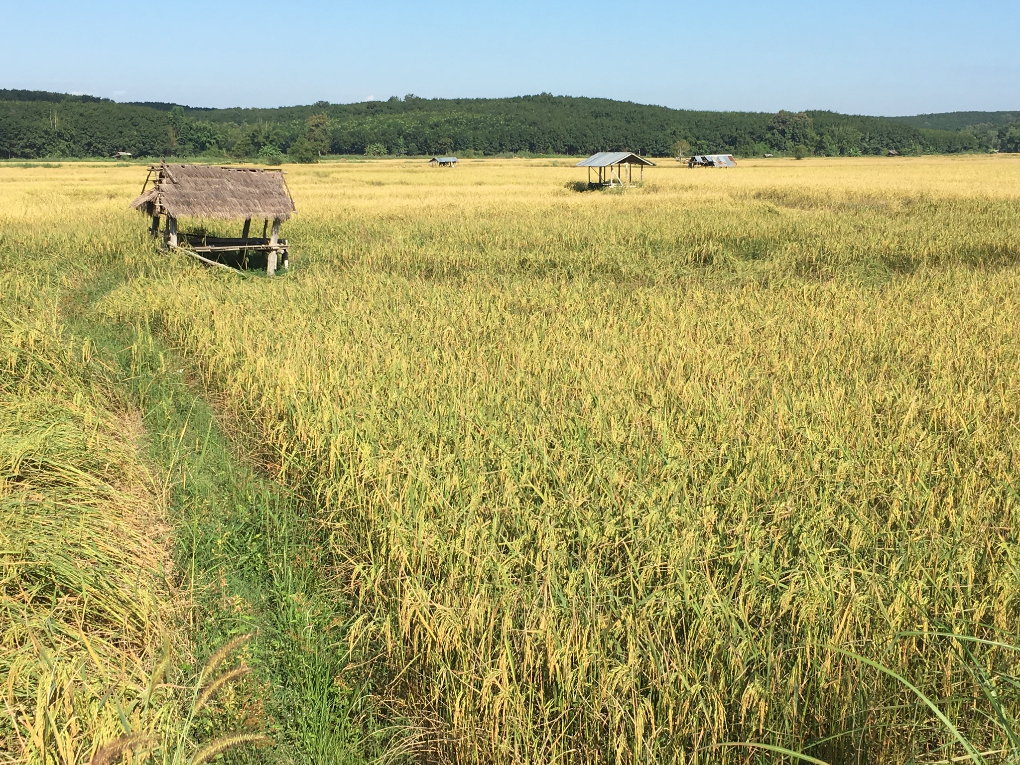
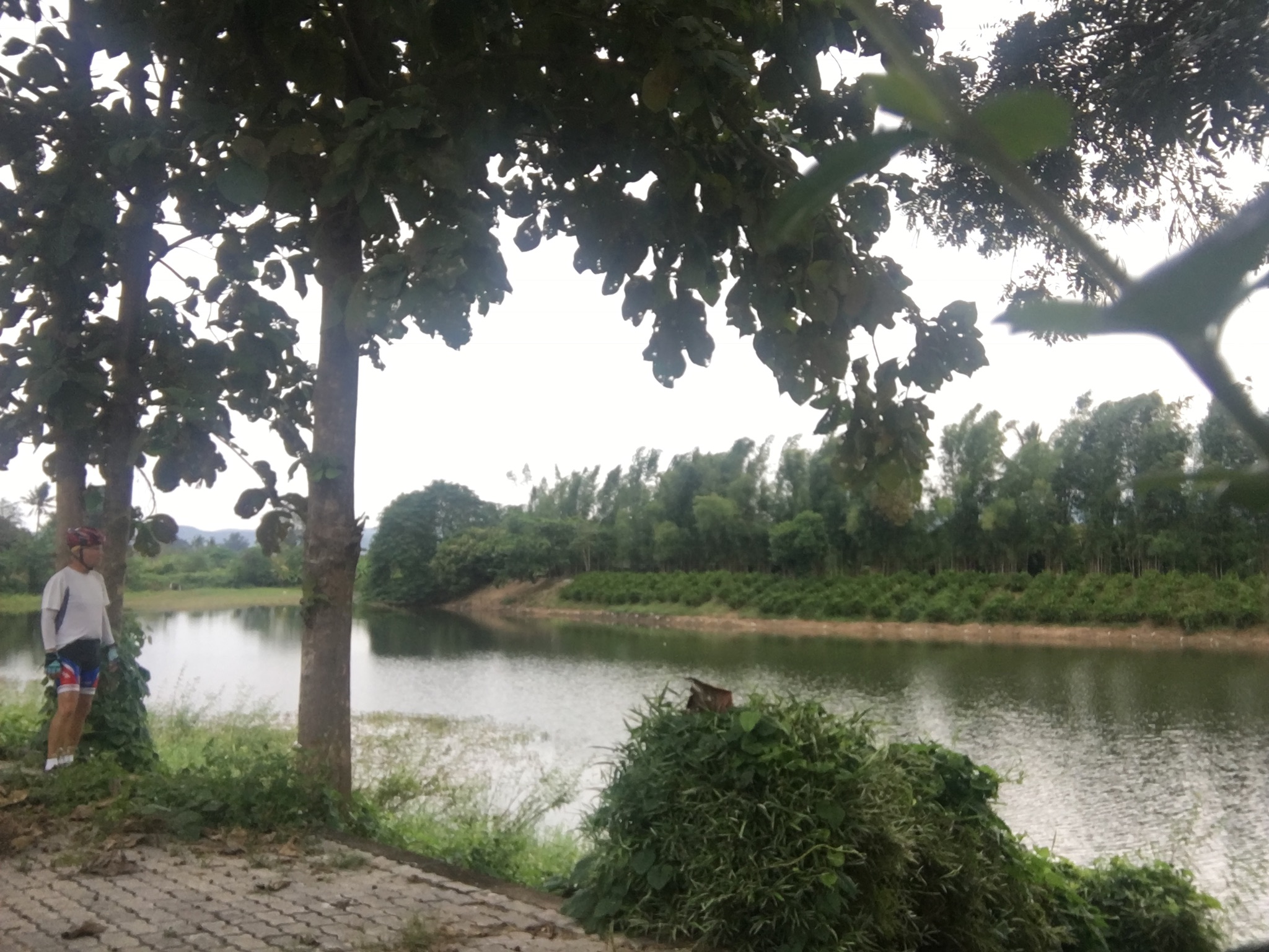
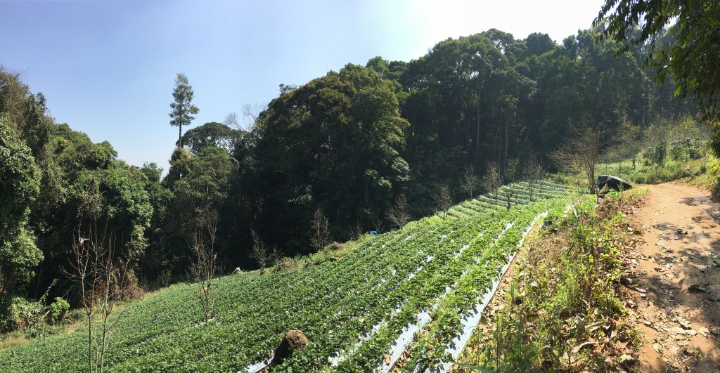
From the village, I traversed about 9 km south to Doi Suthep temple, following a four-wheel drive road that led eventually to a poorly maintained trail.  The first part of the traverse passed by numerous strawberry fields that thrive in the cooler mountain-top environment.  Trail finding was a bit of a challenge – the jungle hides a spider’s web of jeep trails and walking paths going every-which-way.  After climbing over what seems like 100s of fallen trees, I arrived at the bustle of Doi Suthep and descended the steep trail to just above Wat Pha Lat, where I finished the 20 km long hike with a 3 km traverse back to my parking spot along the Doi Suthep road.

IMG_4534
Terraced strawberry fields forever

Hiking this trail gave me a great workout – the distance and elevation gain probably equals or exceeds any day-long segment I will encounter in Nepal (albeit at low altitude).  The trails are pleasant enough, although quite steep in places.  During the dry relatively cool season (temps in the upper 80s- low 90s F) the cooler temperatures up high are pleasant. There were only two real downsides to this hike.  One was the constant cloud of kamikaze gnats that enveloped my head.  These terrorists had a penchant for exploring any orifice of mine they could find, and apparently they thought my eyes were portals to a bug’s paradise.   I spent much of the hike wondering if the swarm consisted of the same 200 bugs who found me at the trailhead and followed me for 20 km, or whether they were a tag-team outfit that each had their own designated section of trail.  I imagined attaching a nano GPS transmitter to a few of the gnats to answer this question.  Such are the thoughts that occupy my feeble brain when my legs and lungs are on autopilot.

The second downside was the 20-30 inevitable spider-web-face-plants.  A face-first meeting with this guy will get your attention!

IMG_0078

I am hopeful that these forays into the Thai jungle will amply prepare me for the hiking in Nepal.  My next post will likely be next week from Nepal….

December 6, 2017 – Cycling Tour of Northern Thailand – A Final Look Back by the Numbers

IMG_4247
Doi Pha Klong National Park east of Phrae

I have been back home now for nearly two weeks.  With a bit of perspective, I would like to take one last look back at my cycling adventure “by the numbers”:

1,079 – Give or take a few this is how many kilometers I road on my tour.  Add another 25 km to that to account for a day trip I took to the White Temple in Chiang Rai.  That works out to an average of 98.1 km per day.

11 – Days of riding.  That is not counting the short day ride I took in Chiang Rai.  An additional 2 days were spent on a golf course in Chiang Rai, and one true rest (and laundry) day in Nan.

10 – Number of mountain ranges crossed.  On two separate days, from Chiang Muan to Nan, and Phrae to Lampang, I had to cross 2 ranges.  For 3 days, from Chiang Rai to Chiang Khong to Thoen to Phayao, I rode on the mostly flat terrain of the basins.

2 – the number of times I had to get off my bike and push it up a steep section of road.  Both of these were on the same day, between Phrao and Fang.

1 – the number of other touring cyclists I saw during my trip – it was a European woman I saw in Chiang Rai with a bike so laden that I am pretty sure she was riding back to Europe.  I don’t count the locals pedaling their cruisers around the many small villages and farms – these were too many to count.

2 – The number of times I crashed my bike.  I already wrote about the first time here.  The second time was even more embarrassing than the first, but two weeks on and I can now write about it without blushing too much.  I was coasting to a traffic light on the outskirts of Lamphun on my very last day of the trip.  I was looking at google maps on my iPhone which was mounted on my handlebars trying to find a pleasant route through the Chiang Mai basin.  I was not looking at the road.  I ran smack into the rear end of an empty trailer being pulled by a motor scooter being driven by a grimy construction worker.  Fortunately I was going slow enough that I didn’t fall over.  Smashed up one finger bloody good (literally), with only a small scratch on a break lever, and no damage to the very sturdy trailer.  A huge gash to my ego.  The only person more startled than I was the driver of the scooter his look needed no translator, it cried out W.T.F.!!!, are you $#@&^ing blind?!!! I tried laugh it off which was difficult with blood dripping down my arm.  I finally got to pull out my carefully equipped first aid kit, and I was back on the road again in 10 minutes.  I put my phone away for the duration.

398 – Number of dead snakes seen on the road.   Ok, I didn’t really count them, but there were a lot, as I discussed here.

1 – The number of live snakes I saw.  A 4-5 footer curled up on the shoulder.  I just missed running over it at 25 km/hour.  By the time I realized that it was a snake I was far enough down the road that I didn’t bother to go back and take a picture.  Now I wished I had….

0 – This is the most amazing number.  This is the number of flat tires I had.  I reckon this is because I was so well prepared with patch kits, tire irons, and spare tubes.  I never even put air in the tires.  This must be a testament to the quality of the tires that come stock on my bike, the Marin Gestalt 2.

-1 – My weight change from the day before leaving to the day after returning.  Thats right, negative 1.  I actually gained one pound.  I would like to think it is because muscle weighs more than fat, but I now the truth: No day’s ride, no matter how long or over how many hills, can make up for the prodigious amount of food I ate and beer I drank while on this trip.  I am talking 3 Thai food dishes with a plate of rice washed down with a large Singha beer, and chased by 2-3 Kit Kat and Snickers candy bars.  That is just an example of one of my 3-4 daily meals.  It was sure fun while it lasted; now I am struggling to eat only 20% of that amount and can still feel my paunch growing.

My cycling tour already seems like ancient history.  I am back in my usual routine of pleasant retirement.  But the itch is still there, this week I booked my next adventure, a 21 day trek to the base of Mount Everest.  Stay tuned!


November 28, 2017 – Cycling Tour of Northern Thailand, Epilogue and final Thoughts

I have now been back home 5 days already, and it seems like forever.  It seems like I never left.  While I was on the ride, it seemed like the never-ending-tour.  It seemed like I had been riding my whole life, and still had a long way to go.  While on the tour, life became very simple.  Eat, ride, eat, drink, check-in hotel, write, eat, ride, etc. etc.  I had no appointments to keep, no problems to solve, no one to worry about but myself, and no deadlines other than the setting sun.  On my return, I awoke to dead batteries in my car and iPhone, and spent the day replacing both.  I now have appointments to keep, golf tee times to wake up for (I know, I have a tough life), and the everyday nuisances of normal life.  A part of me misses the simplicity of the road (but not the sweat).

IMG_4229
A misty early morning near Fang – one of the many memorably scenes along my route.

Would I do this trip again.  The short answer is no, but I would do a trip similar to this in a new place.  Would I recommend this trip to others.  Yes, if they were prepared to cycle in the relative heat, adapt to the culture of the Thai roads, and wanted a prolonged experience of Thai culture.  Here are some final thoughts that I hope will be of use to anyone considering a trip like this one:

  1. I chose the perfect time of year to go.  November is relatively cool (nothing over 90 F), with relatively low humidity.  I had one 60 minute rainstorm, the rest of the trip was dry with mostly sunny skies.  Winds are light enough to me a non-issue.  Hotels were empty as were many of the roads.  Any other time of year would have meant dealing with higher or lower temperatures, abundant rain, and/or intense heat.  The forests were still green from the rain season, and it was harvest time for the rice, but they had not yet started to burn the fields (which will turn the air foul by February or March).  This tour is certainly doable any time of year November is nearly ideal.
  2. I had the perfect bike for this ride.  The Marin Gestalt 2 is moderately priced, relatively rugged (without being heavy), and easy to fix and maintain.  I am sure better bikes are out there, but probably not for the price.  I added a rack, kick-stand (an absolute necessity!), and fenders which helped keep me and the bike clean.  I do admit though, that an even lower “grandpa gear” would have been nice.
  3. I travelled light.  No rain gear – I figured I would be wet from sweat anyway, and in November, if it is cold, it will usually be sunny.  I carried only a couple of changes of clothing, and was able to do laundry along the way (although this will usually mean  a rest day because clothes must be line-dried).  I carried only a small cache of emergency snacks – food was easy to find almost everywhere.  I stayed in hotels, so no camping gear was needed.  Bottled water is everywhere and cheap.
  4. If I could re-plan this trip, I would avoid the heavily travelled road between Lampang and Chiang Mai, and perhaps take a quieter route from Phrae to Lampang, or skipped that area altogether.  The rest of the route was on lovely quiet roads with only short sections (near towns) of heavy traffic.  I would have like more time spent cycling along the Mekong – this was the most memorable part of the trip.
  5. I had a Cat’s Eye wireless odometer that I can only give a mixed review.  It on occasion just quit working – most likely because the sensor – pick-up gap was too large.  Unfortunately the design of the Gestalt’s front forks made adjusting this gap difficult to impossible.  The real winner was the iPhone mount teamed with the Cyclometer Elite app for OSX.   It gave me all the stats I needed with a very easily read display.  The only downside was the large battery drain on my iPhone, but the back-up battery in my iPhone case more than compensated.

This and my soon-to-come “by the numbers” post will be my last post specifically about this tour.  If anyone is thinking about a ride like this, I am happy to answer your questions.  Reach me at bprhodes@mac.com. I do not no where this Blog will go from here.  I am sure I will find something to say.  Stay tuned!

November 19, 2017 – Northern Thailand Cycling Tour – Summit Day!

img_4227
Graph shows distance versus elevation. Ugh!

Wow, that was a lot harder than I thought! My plan for the day called for a ride of just 68 km, by far my shortest ride of the entire tour. What I did not realize at the planning stage, was that this route climbed over two mountain ridges and numerous other smaller ups and downs, resulting in a total of 998 vertical meters – doubling the climb of my next hardest day.  The result is that today actually felt like my toughest day, rather than what I though would be my easiest day.  Even though I got an early start of 7:45, I still arrived in late afternoon.  But I made it!  By reaching Nan, I have reached the ultimate goal of this tour.  For me, Nan has always had the aura of an isolated and remote province.  I initially though I would drive here.  But when knee surgery last year forced my to quit running, I bought a bike, started cycling around Chiang Mai, then decided to cycle to Nan.  My plans became increasing ambitious, resulting in this tour.  I feel like the mountaineer who has reached a long sought summit: bone-tired, a little let down, and apprehensive about the decent – in my case the ride from here back to Chiang Mai.  More on that below.

The ride out of the very quiet Chiang Muan valley began almost immediately, climbing to the first ridge in just over 12 kilometers. Just after reaching the crest of the ridge the road plummeted down to the The Baan Luang Valley.  There I paused for a late morning cup of coffee, and stocked up on my water supply.

Then up I went again, this time very steeply, over a ridge covered in lush jungle.  When I finally reached the ridge crest, it was mid-afternoon already, and quite hot.  The way down to Nan from there was a series of roller-coaster hills where You go up 10 meters for every 15 You lose.  To make matters a little more interesting, one of the steepest downhill sections was being reconstructed and I had to inch down through the mud made by a dust mitigating water truck.  The mud caked between my tires and fenders bringing my rear wheel to a wheezing stop.  Another 30 minutes was spend scrapping out the gooey mud so that my tire would spin again.

I finally arrived in Nan about 3:30 pm, some 3 hours later than expected.  After checking in to the Baan Nan Hotel, I brought my bike to the Nan Cycling shop, and left it for them to clean up, and adjust the gears.  They did a great job for only 250 baht.

I don’t have much to say about Nan.  The idea of the place far surpassed the reality.  Nui, the proprietor of Nan Cycling, was hard pressed to think of anything to see in Nan besides one museum and some temples.  Perhaps interesting sites lie outside of  town, but those will have to wait until I come back in a car.

Every mountaineer, when he or she reaches the summit of a remote, difficult and/or strenuous peak, knows well that the descent will be even more strenuous and difficult than the ascent, and potentially more hazardous.  I am apprehensive about the final 3-day ride back home, my “descent”.  Each day of the three is over 100 km in length and involves crossing at least one mountain range.  I will spend tomorrow – well actually today as I write this – eating, getting laundry done, resting, eating and hydrating.  Hopefully, I will be able to escape my “summit” very early Tuesday morning, bound for Phrae.

November 18, 2017 – Cycling Tour of Northern Thailand – Small Town Thailand – Phayao to Chiang Muan

Chiang Muan doesn’t even have a traffic light. Lying half way between Phayao and Nan, tucked neatly in a basin surrounded by mountains, this small district within the Phayao Province has a population of just over 19,000 widely scattered over 723 square kilometers. The entire district consists of 3 small villages, with most of the population living in the surrounding rural areas.

8B5D61E6-FA21-4318-94B2-07DB02003845
Downtown Chiang Muan at sunset on a Saturday night.

I am staying in the largest of these villages which fortunately sports two small hotels.  My first choice had a for sale sign hung on the office door, and no one was around.  My second choice did not have a for sale sign, but also was deserted.  Fortunately, the phone number on the sign worked and rustled up a gap-toothed local guy in a beat up pickup truck.  He took my money and gave me a key, no passport, no sign in, no credit card.  I love these small villages!  The hotel (not sure it qualifies as a hotel with only 4 rooms) was actually very nice with a decent sized, clean room with a/c, hot water, twin beds, and a small refrigerator all for the princely sum of 500 baht (just over $15).

5293BC79-6FF5-4EDF-BEC9-C7FA6DDA1BB5
A deserted road – just how I like it.

Todays ride took me over one of the many branches of the Phi Pan Nam Mountains. Here the range is not particularly high, my high point for the day topped out at just under 700 m.  All but the steepest slopes were covered with corn fields turned to the their post-harvest brown.  The ride over the mountains was very peaceful, no traffic, no villages, and only the occasional farmer tending their fields and waving at the crazy man huffing and puffing up the hills.

Tomorrow I will reach the “summit” of my trip.  I have always looked at Nan as being my ultimate destination.  A shortish ride over another range of hills should get me there by early afternoon.  Talk to you from there.

November 17, 2017 – Cycling Tour of Northern Thailand – Down to the Lake – Thoeng to Phayao

Today I cruised down 87 km southwestward to the provincial capital of Phayao, which lies on the shore of Kwan Phayao (Kwan = lake in Thai).  Kwan Phayao is one of the few fresh water lake in Thailand, and one could argue that it is the remnant of a system of lakes that occupied the basins of northern Thailand 15 million years ago.  During the last few million years, uplift affected all of northern Thailand, essentially draining the lakes as through-going, southward-flowing rivers developed in response to the uplift.  It would have been a fantastic cycling trip in those ancient times, riding along lakes, up over mountains, and down to more lakes, with all kinds of weird Miocene mammals around like camels and small horses to chase instead of the semi-feral dogs of the Holocene.

Phayao is a pleasant, clean town but with a vastly underutilized lake front.  They do have a small promenade, with a fountain and small park, but with such a fantastic view across the lake to the distant mountains, one would expect them to leverage this into a popular tourist attraction.  However, the lake-front pubs and restaurants seem to be mainly populated with locals.  I get the impression that Thais see so much water their whole lives that they can’t quite wrap their heads around why us westerners like to look out over water.

The ride today was uneventful.  No spills or thrills, just a fast ride on smooth roads through lovely heartland. I will let the pictures do most of the talking:

FE3D36D4-87C5-404D-B96A-0B58B0DCEF97
Corn er.. I mean rice silos are a common site in north-central Thailand
F79CA1BF-78EF-46D1-917D-C3F05F30EBC3
Young teak trees (at least that’s what I think they are).
2E448BFD-CD71-46CB-9710-840B13A7D884
Even the weeds are nice.
8AFEF494-EE10-4309-8C73-5F7FE1C22C19
Never tired of the golden rice paddies.
BEF3FA62-CF49-4729-8651-54861F7D400C
Stopped to pee and I had a captive audience!
1AA8CFF4-B1DA-4468-A9C8-9D1E498ECC57
Phayao Lake
8CD08F9C-D5DE-4A9E-9700-ECAB41C0E237
Fishing!
8CD05AB8-114E-4DA7-BC44-B884C3792CE0
A peaceful end to the day.

Tomorrow begins the final 2-day push over the mountains to Nan.

November 15, 2017 – Bike Tour of Northern Thailand – On the Road Again – Chiang Rai to Chiang Khong

Nearly 6 pm now and I am sitting in the “Bike and Drink” bar in Chiang Khong on the banks of the mighty Mekong River. That is bike as in bicycle – so of course I had to stop. Good decision. They have good American style pale ale (albeit from New Zealand) and they are playing Hotel California!

Chiang Khong long stood as the gateway to Laos from this part of Thailand – just a ferry ride across the Mekong. However, not too long ago the opening of a new “Friendship” bridge across the Mekong a few kilometers south of town caused an economic slow down. Still it’s a pleasant one-road town. Backpacker’s hostels, restaurants, and bars line the main drag, and the town sports the friendly ambiance of a town far, far from Bangkok. Enough about Chiang Khong though, let’s catch up.

My rest day in Chiang Rai turned into 3 rest days. I gained one day when I pushed through to Chiang Rai without stopping at Mae Chan. I gained a second rest day when my friends, who drove up from Chiang Mai to play golf and celebrate a birthday, talked me into staying another day to play golf and celebrate a second night. At first I said no, but then I remembered. I am retired, I can do whatever I want. So I stayed. On the first rest day I did cycle 14 km out to Wat Rong Kuhn aka the White Temple.

F9342DDA-587A-41BF-A0BF-45FB67DBB967
Wat Rong Khun

While the structure is impressive, the site is a tourist trap with hundreds of Chinese tourists milling about. I had a smoothie and a coffee and cycled back. It was however good to warm up my slightly sore legs after the long day coming from Fang.

I won’t say much about my stay in Chiang Rai – to borrow a phrase, what happens in Chiang Rai stays in Chiang Rai. Suffice it to say that my stay involved a lot of eating and a lot of drinking. Chiang Rai is the poor man’s Las Vegas for us – not because it in anyway resembles the real LV, but because it is not Chiang Mai, our home town where we (mostly) try to behave ourselves. By the time I saddled up my bike this morning, I was feeling quite sluggish and bloated.

I was up early though, and hit the road a little after 7 am – no breakfast, but I still felt full so that was just fine with me. The ride out of town followed the Mae Kok River to the northwest. Although into a slight headwind, the route was flat and fairly fast. A bit further northeast, the route abandoned the river and meandered through

279EB0CF-F0F8-4AFE-B063-199D4D53D3DA
Rice fields with rubber plantations in the distance.

golden plains of ripe rice paddies and low hills covered with lush rubber plantations. Finally, 45 km and 2 hours out of town, I was hungry. Just in time, I came upon that ubiquitous institution that is as much a part of Thailand as red and gold

2DB2B7FC-B4E3-43BB-8E7D-2096378C835C
White sap gets collected from these rubber trees and is processed into black rubber.

temples and fiery papaya salad: a 7-eleven. If you have never been to Thailand, you would never believe how many 7-elevens are here. In cities there can be 3 or 4 of them in the same block. I have seen two of them across the street from each other. Some are the size of a small suburban kitchen, others are USA-sized. They are everywhere. Until you go up country. For a village in Thailand, I suspect getting a 7-eleven ranks just behind running water and electricity in the measure of progress. The branch I encountered looked brand-spanking new, with shelves fully stocked with everything that will make the Thais just as fat as Americans. I had my gourmet brunch of nuked ham and cheese croissants and cookies, washed down with a coke while sitting on their front step.

600E44A6-709F-4958-9B60-41A8C3DF7904
My breakfast stop today.

I continued cycling northwestward until I reached the Mekong River. The main road to Chiang Khong diverges from the river and crosses the Phi Pan Nam mountains, a more direct route. I chose to follow the Mekong on a smaller road where the river wraps northward, eventually cutting directly through the mountains as an antecedent stream (nerd alert).

3C7B7986-F73C-40B5-A9B3-5B2C92ABBBC3
The Mekong

The Mekong existed before the uplift the mountains, and as uplift proceeded, the erosive power of the river out-paced the rising mountains such that the river now cuts east-west through the north-south ridges of the Phi Pan Nam range. Unfortunately, the road did not stay down along the river, but rather rose and fell, constantly hugging the shoulder of the mountains to the south.

Finally about 100 km out from Chiang Rai, I rounded the bend in the river for what I hoped was a smooth run into Chiang Khong. No such luck. The last 20 km wound over even high ridges, and to make it worse, the road was being widened, resulting in several kilometers of cycling up and down steep grades on what amounted to a dusty dirt road. By the time I cruised into town, I was sunburned, dehydrated, and just plain beat. I stopped at the first hotel I saw – a very small room spartanly furnished, but it cost only 400 baht (just over $12). Good enough, and after a shower I was sound a sleep. Woke up an hour later, and here I am sipping my second beer and munching on Lays. Off to find a proper dinner somewhere. Talk to you tomorrow from my next stop, Thoeng.

November 11, 2017 – Bike Tour of Northern Thailand – Up and Over – Fang to Chiang Rai

This distance versus elevation plot shows the story of today’s ride.

The pictured graph – generated by my Cyclometer app on my iPhone, tells the story of today.  A long flat fast approach, a steep, steep, steep climb, then a long run-out downhill, finishing with a fast southward wind-at-my-back race down to Chiang Rai.  Today I only intended to go as far as Mae Chan, a town about 30 km north of Chiang Rai, leaving an easy 30 km for the next day, but I arrived at Mae Chan at 2 pm with plenty of energy. So I just kept going.  November 13 was a planned rest day in Chiang Rai, several friends are driving up here from Chiang Mai to celebrate a friend’s 60th birthday, so I timed my rest day to coincide.  Having arrived a day early, I now have 2 rest days!

This morning, after breakfast at the hotel, I rode northeastward on the main road through green, ripe rice paddies and scattered orchards with the northern mountains looming on the horizon.  I stopped for a cup of coffee and a tasty chocolate cake about 35 km out at the Hom Pan Din Coffee and Bakery.

Fuel for the climb.

Interestingly they also have a small vineyard and they sell locally made wine, raisins and grape jam in their small gift shop. I skipped the wine and headed east.  The climb to the pass was short and brutally steep – but I managed to avoid embarrassment and gutted it out without having to dismount.  At the high pass I was greeted by a tropical deluge.  I sought shelter under the eave of a storage building as a stream of school children, apparently headed home from school for lunch, frolicked in the rain and gawked at the crazy farang1 with the weird shorts.  The rain persisted, although I could see blue sky beckoning toward me from the east.  Finally I pushed on despite the rain, becoming completely soaked within 30 seconds.

A short distance east of the summit, still in the downpour, I passed the turnoff towards the north to Mae Salong. Mae Salong is a very strange village built along the crest of one of the highest ridges in the northern mountains.  The ethnic Chinese that populate this region are the descendants of a remnant of Chiang Kaishek’s anticommunist army.  When General Chiang retreated to Taiwan, a couple of regiments of his army became separated in southern China.  They refused to surrender and continued the fight, eventually retreating to northern Burma.  The Burmese were not welcoming.  Fortunately for these lost soldiers, the ever pragmatic Thais, involved with their own war against the communists, invited these rebels turned mercenaries to fight for Thailand in exchange for Thai citizenship.  In order to finance the war, the new Thai citizens turned to opium and the drug trade – the beginnings of the famous Golden Triangle.   Tea and tourism have since replaced opium in the economy of this now peaceful village.  I would say these soldiers did pretty good for themselves. My original plan called for me to cycle up to Mae Salong, but fortunately I had the opportunity to visit Mae Salong by car a few weeks ago.  My car barely made it up the mountain, trying to cycle up there would have been a disaster!

The deluge gave way to sunshine and badly needed warmth as I raced down the hill toward the east.  For nearly 30 km I barely had to pedal.  This section of road follows the linear Mae Chan Valley – linear because it marks the long east-west-trending Mae Chan fault – an active strike-slip fault, like the San Andreas Fault’s little brother.  Fortunately, no temblors today.

Typical Road-side shrine. Note the offerings of food left for the spirits.

Spirit Houses

Small road-side shrines commonly mark particularly windy and/or mountainous stretches of highway in Thailand. A varying number of spirit houses, mailbox-sized mini-temples sitting on low pedestals commonly accompany these shrines. My understanding is that relatives of car/motorcycle casualties place the spirit houses near to the accident sites so that their ghosts have a place to live close to where they became separated from their hosts.  I am hoping that my spirit does not wind up in one of these anytime soon.

I cruised into Chiang Rai about 4:30 pm, checked-in, and had a short rest before heading out to feed my starving belly.

8318B59A-F1E2-4BC5-BDAA-FBCA716EC7EB
A “San Fran” cheeseburger, the real reason I skipped Mae Chan and continued to Chiang Rai

I will spend the next 2 days in Chiang Rai to celebrate my friend Scot’s birthday and play a round of golf (thanks to Scot for bringing up my clubs!).  I will need the additional rest because the next segment of my tour calls for a 117 km leg up to the Mekong River.

1 The word farang is used by Thais to refer to persons of European descent.

November 10, 2017 – Bike Tour of Northern Thailand – The Road Less Traveled -Phrao to Fang

img_4068
The bigimportantcityoffang.

I’m sitting in a bar/restaurant (mostly bar) writing on my iPhone while sipping a Singha beer and waiting for my dinner to come.  After checking in to the Sleeping Tree Hotel in Fang,  I took an hour-long rest before heading out on a mission.  The mission was find a beer and food.  Harder than I thought.  Turns out this town has many restaurants that have food and no beer, and many bars with with dodgy food or no food at all.  I ended up choosing the latter of course.  I’m now at the “Mahanakornfang” which roughly translates as  “BigimportantcityofFang”.  The place is just beginning to fill up, my guess it’s pretty popular on Friday night.  I’ll be in bed by the time things heat up here.  But back to the start…

This morning I was up by 7:00 and saddled up by 7:30.  No breakfast here.  So I headed north towards the town of Phrao.  Turns out the Phrao Basin is not really flat.  A 1 km hill greeted me almost immediately. Not steep, but it still worked as good as coffee to wake me up and get me in a lather.  I arrived in Phrao about 45 min later.

Pad grapow moo

Phrao is a really small town, which surprised me a little because it is an amphoe – the equivalent to a county seat in the USA.  Basically it’s a one block town.  I made the complete circuit and found an empty restaurant that was just opening.  I fueled up on my go-to dish of Pad Grabow Moo (spicy fried pork with chilies and basil).  If I am ever executed, this would be my request for my last meal.

I rode west – oh my food has come! … Now I’m back in the Sleeping Tree – I better finish this soon because I am knackered good.  Where was I?  I rode west of out of town through the rolling hills covered with fruit orchids.  As I approached the western range front, I had a choice to make – take the main road west through the mountains, or take the road less travelled which goes over the mountains to the north.  I chose the north.

Google street view showed a reasonably paved road winding its way north, but what it didn’t show was all the up and downs, nor how steep the climbs were.  Two 1 km hills went straight up; I had no choice but to dismount and push my bike.  The first of these was so steep I could barely get my bike up it.

Although this route was brutally mountainous, I was amply rewarded with views like this.

I finally emerged from the mountains by about 2 pm and joined the main Chiang Mai to Fang highway.  Unlike Phrao, the Fang Basin is a pancake –  with the additional benefit of a constant stream of traffic whooshing by me and providing a nice draft.  However the ride was far from pleasant.  About 30 km south of Fang, the route turns into a Thai version of one of those endless strips of busy roads that lead into so many towns in the US. I rode through 30 km of roadside markets, car dealers, factories, 18 wheelers, and endless road construction.  However civilization has it perks. I stopped at a huge gas station plaza and bought myself a well deserved Coke Zero.  I also proved the common adage that “hunger makes the best spice” by having a DELICIOUS meal from Five Star Chicken, Thailand’s version of KFC in a push cart.

I arrived finally at my hotel in Fang.  An excellent workout today. This town is a bustling place with lots of dusty traffic.  I’m not sure what is driving their economy, but it seems to be somewhat of a boom town.

You know what happened from here already – so now it’s time for a nice long sleep.  Talk to you from my next stop.

November 9, 2017 – Bike Tour of Northern Thailand – Chiang Mai to Phrao

As I was getting ready to set out on my 2 week adventure, and while I was going through my checklist and locking up the house, I had this short conversation with myself:

Myself: What the fuck are you doing?  We have a nice climate-controlled house with a luxurious bed. You have all your favorite foods nearby and your friends are here.  Now you’re telling me that we are going to spend several hours a day over the next 2 weeks, alone, all bent over, sweating profusely, with a 3 inch wide seat crammed up our crotch?

Me: (meekly) Well….ah….yea….

Myself: Have you heard that every 20 minutes someone is killed on the roads in Thailand?  Are you TRYING to get us killed?

Me: Well most people die in bed you know….

Myself: Yes but they die of OLD AGE you doofus – we’re going to get run over by a minivan, I know it.

Me:  We’ll be wearing a helmet, and I will keep left….

Myself: Let’s just forget this nonsense…put that bike away, take off those silly pants with the padded crotch, and lets just go back to bed.  We can get up at 11 and go play golf.

Me:  Oh just shut up.

img_4018
Ready to go!

I forgot about this conversation as soon as I pedaled down my soi.  I felt free.  I could hear the road calling me.  The weather was nearly ideal – high clouds to block the sun, temperature in the upper 70s, and only a gentle wind in my face.  Life is good!

My route today took me northward along the banks of the Mae Ping River over lightly travelled, narrow, but smoothly paved roads.  The first 30 km followed my usually training route, winding through rice paddies and small villages, never straying far from the river on my right.   I know every temple and pothole along these roads.  The terrain was Kansas flat and I made good time averaging around 22-23 km/hour.  A little over an hour out, I made my first rest stop at my usual spot, a small crematorium set beside a lovely oxbow lake.

D1312565-6CD3-42E4-9D63-7B57075A6D53
A lovely oxbow lake on the floodplain of the Mae Ping – my first rest stop.

The rice is ready to harvest.

Finally I turned to the northeast, left the friendly river behind, and climbed up the winding road through the mountains that separate the Chiang Mai Basin from the Phrao Basin.  I stopped for lunch at a small village market near the high point in the mountains.  One of the nice things about Thailand is that you can get food almost anywhere.  After lunch it was mostly a fast downhill into the Phrao Valley – I pulled up to the Klaidoi Resort just after 2 pm and 83 km.  An easy first day.

img_4047
My very own Bungalow at the Klaidoi Resort

The Klaidoi Resort is in the village of Pradoo – which is nothing more than a few scattered homes and business.  My quarters are a small bungalow in a very nondescript “resort”.  Thais use the term resort rather loosely.  But the price was right, 600 baht or about $18. No restaurant here, but the resort owner, Noi, called up the local restaurant (they use the term restaurant loosely too) and the restaurant’s owner came and opened up just for me.  I suspect she closed right after I left.  The restaurant was a 5 minute walk down the very dark road.  No sidewalk here to roll up.  The food was good though and the beer was cold.

836BF394-E1DE-4EB8-9211-9AAC16494FD4
A quiet but tasty dinner.

Tomorrow it is up and over some more mountains to the bright lights of Fang.  Talk to you then.

Some photos from day 1….