Note that this post is being written on March 9 (actually March 10 here). The internet is glacial here so I will post this at the first opportunity.
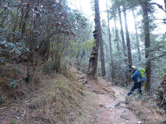
Today actually was a pretty short day, as promised by my guide. Our route took us down down down from the last major north-south ridge. We ended up at the Dudh Kosi River, the major river running south from the Everest region. At the bridge we were also at the lowest point of the trek at 1500 m, lower by 500 m than where we started! Upon crossing the river on a long suspension bridge, our trail turned north.

No more up and over high ridges, from there the route follows the river up stream towards Everest. There will still be plenty of ups and downs, mostly ups; I have about 4000 m (more than 2 1/2 miles) of vertical elevation to gain to reach Everest base camp.

An update on my health. My legs seem almost fine now, my little toe is still firmly attached and not causing any trouble, my left heal is much better thanks to a morning taping job and a strong dose of anti inflammatory. However I seem to be catching a cold, my throat is sore, and I am a beginning to get stuffy. Fortunately my cold is happening now, during some relatively easy days, and not up at high altitude.
My tea house for the evening is in Kharikhola, perched high on the east slope of the Dudh Kosi River. I was able to take a hot shower, which felt nice after hiking the last hour up to here in rain. I’ll keep this post short so I can get some rest and hopefully chase away this cold.